Why Companies Choose Geo Vision 3D for Subsurface Analysis
Geo Vision 3D transforms subsurface exploration by eliminating the bottlenecks of manual borehole image interpretation. Our AI-based system automatically extracts lithology, fractures, and structural features from high-resolution imaging data at scale, reducing dependency on scarce expert geologists. With the global AI-enabled borehole imaging market growing at 12-14% annually—from $13.3B in 2024 to $55.2B by 2034—operators worldwide are seeking cost savings, better reservoir characterization, and automated, data-driven workflows that Geo Vision 3D delivers.
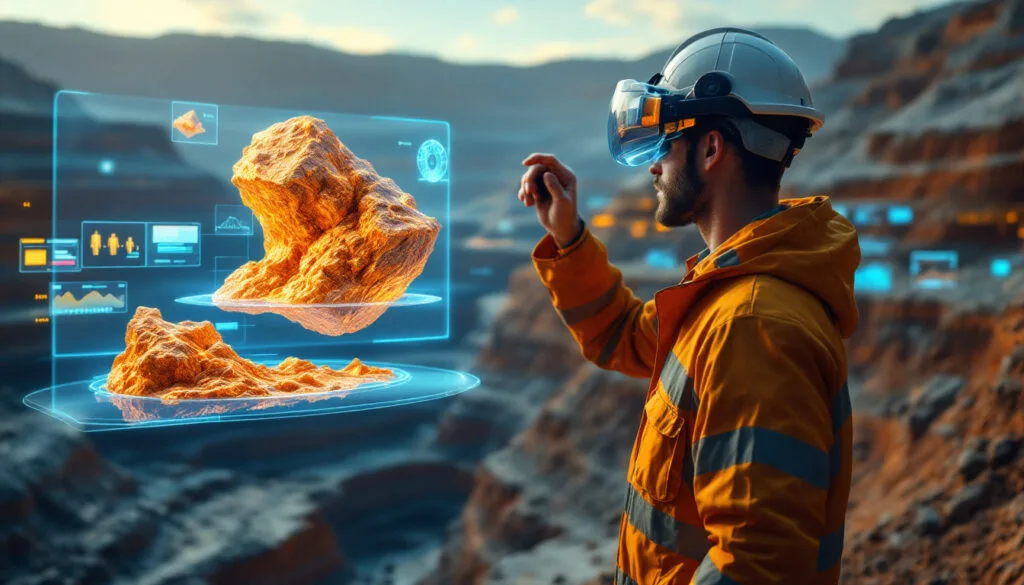
Geo Vision 3D is an AI-based commercial underground truth evaluation system that revolutionizes subsurface land oil exploration and geological formation analysis for any mining industry. Combining state-of-the-art software with a GPS-controlled autonomous Mobile Robot (AMR), our system integrates ground penetrating radar with advanced vision, control, command, and communication technologies to deliver unprecedented accuracy in underground exploration.
Manual interpretation of borehole image logs is slow, expensive, and highly dependent on scarce expert geologists, leading to inconsistent results across projects. As drilling operations generate ever-larger volumes of high-resolution imaging data, most remains under-utilized because existing tools cannot reliably automate feature extraction. Geo Vision 3D solves this critical challenge, enabling automated analysis of underground oil, water, mineral exploration, and mining operations.
Key Capabilities
Geo Vision 3D leverages advanced AI to automatically extract lithology, fractures, and structural features from borehole imaging data at scale. The system combines GPS-controlled autonomous Mobile Robot technology with ground penetrating radar for precise subsurface mapping. Our platform delivers comprehensive geological formation analysis for land oil exploration and mining industries, while providing superior reservoir and ground characterization. The integrated vision, control, and communication systems enable real-time data processing and automated workflows that dramatically reduce manual interpretation time and eliminate dependency on scarce geological experts.
Best Fit
Geo Vision 3D is ideal for oil exploration companies, mining operations, geological survey teams, and resource extraction enterprises requiring automated subsurface analysis. With DataReveal AI's global presence across three continents and strong positioning in developing countries' growth segments, we serve operators seeking cost-effective, data-driven exploration solutions in the rapidly expanding underground intelligence market.